
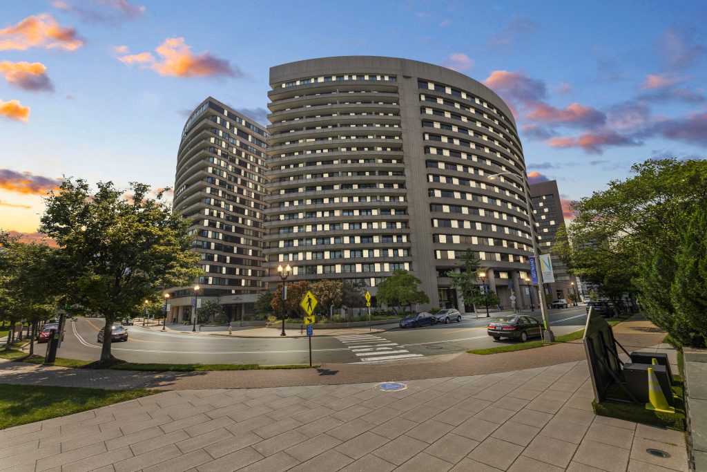
What is Real Estate Aerial Photography using drone?
Real estate aerial photography ( drone photography) is a new method that many photographers use to capture the total views of the property from above. It means we can get aerial images and videos of properties using remote-controlled thanks to the drone device.

By using the cutting-edge technology, photographers and realtors can take advantage of it. From capturing the property from various angles and heights, to get the overall view for both photos and videos. This allows us to access the unreachable places that impossible with traditional ground-based photography.
Thanks to the developing of this photography industry, now we can save more time and money with this drone device. Compared with traditional helicopter or airplane-based aerial photography, drone photography is a breakthrough. It offers cost-effective solutions while delivering high-quality images highlighting architectural elements and surrounding landscapes.
Benefits of using Drone Real Estate Aerial Photography For Property Inspections
Real estate drone photography is the great way for both realtors and photographers when it comes to taking aerial photos for your property listing. It is a powerful tool to help homebuyers get quicker, more efficient inspections. Then for realtors, they can have better visual documentation, and easy identification of hard-to-reach areas.
1. Efficient Inspections:
Using real estate aerial photography with drone is best choice for both realtors and homebuyers. It can help buyers to get authentic photos and videos for the total views and amenities surrounding of the house. So potential buyers can save more time and efforts to check the ideal property before they spend time come to see in person. Then for realtors, using drone can save them more time and money to capturing detailed images of exteriorsand roofs. This is the great tool that offer them and faster and more accurate property inspections. So they can understand more about the property to get the suitable marketing strategy. This technology solution offers an effective way to conduct routine inspections without disruption or safety risks.
2. Better Visual Documentation:
By changing the perspective from above, aerial photography using drone add more value for the property and make it stand out. It is best choice for high resolution photos and videos which showcase the total views of the property and surrounding area for buyers. These specific information about the location of the house is necessary things when it comes to taking the final decision for buying it. Moreover, with a skilled photographer, they will help you to show up the detailed view of the entire property, along with highlighting areas of concern or potential issues. This give homebuyers the in-depth visual documentation that over their expectations. Then realtors can also saves time and labor costs while enabling informed decisions about maintenance and improvements.
3. Identifying Hard-to-Reach Areas
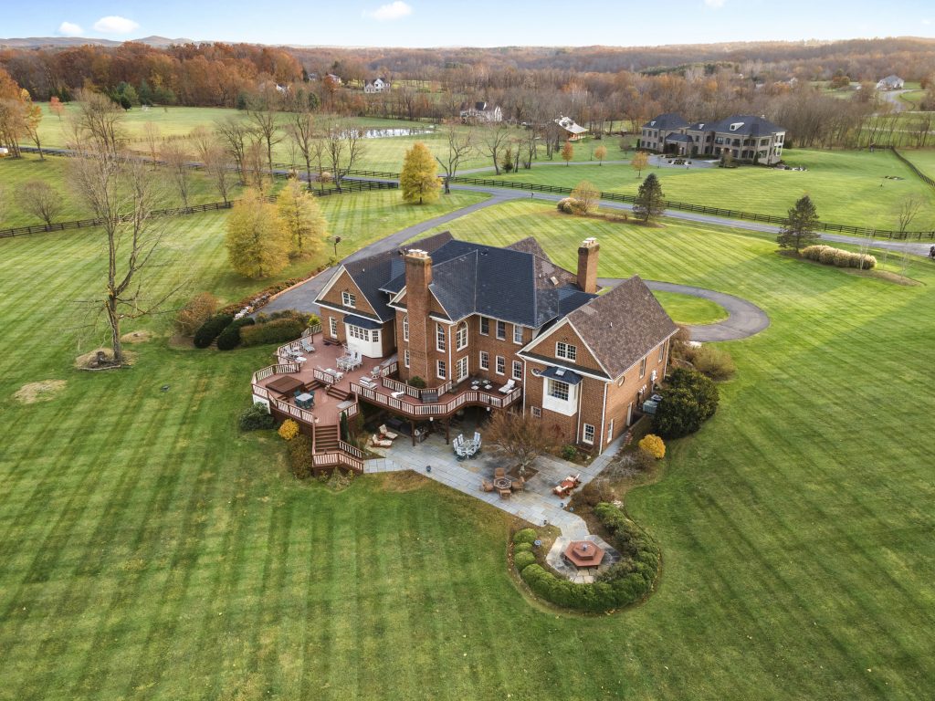
When it comes to checking all the features of the property before taking the final decision, drone photography is a reliable tool that work. It is small enough to help you to check all hard-to-reach areas such as rooftops, chimneys, and gutters. Then providing high-resolution images that can show you the clear condition of the property. So thanks to these effficient tools, homebuyers can have more essential information to get the idea about the house. They can save more time and effort to understand about the property compared to traditional inspection methods.