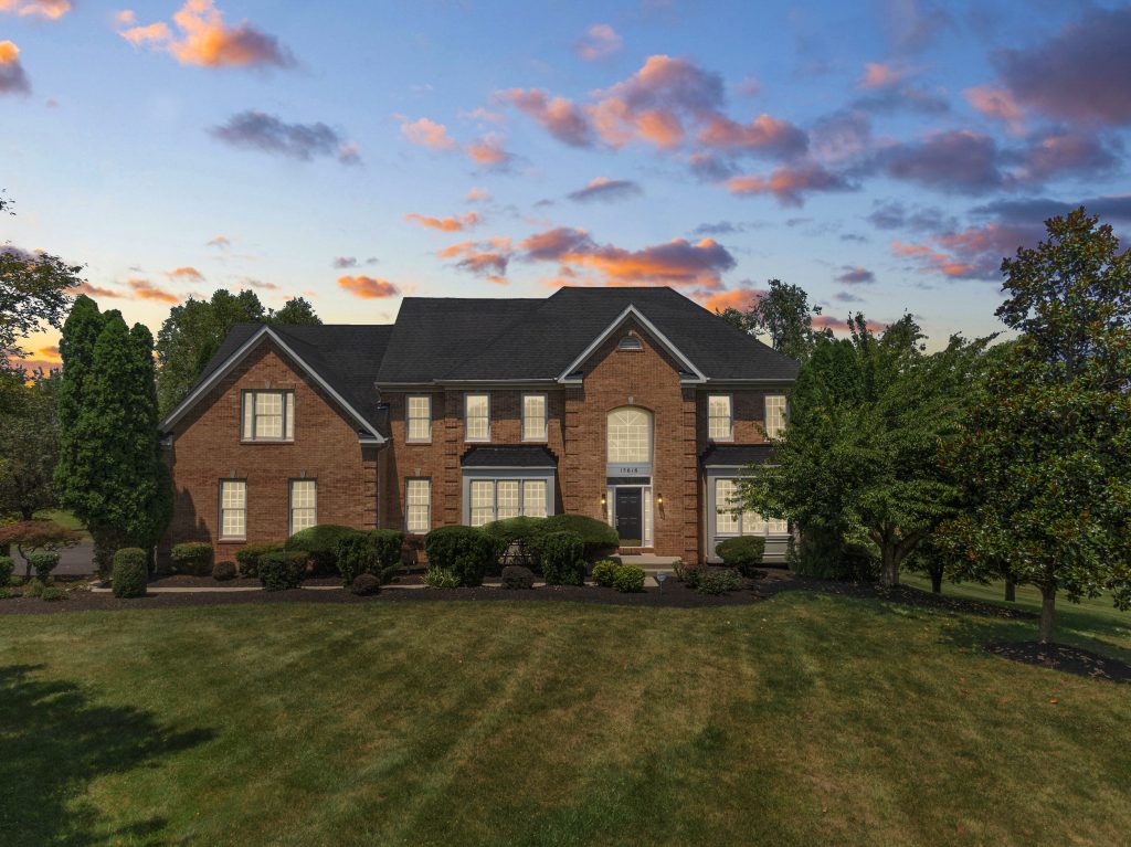
Real estate aerial photo enhancement is the way we use professional software to change some elements of the original photos to ensure to get flawless output photos. When it comes to taking aerial photos with drones, there are many enhancements that need to be done. Such as, you are taking the shots on a sunny day, so there is too much sunlight to cause reflections and glare for the images. Or too much wind makes your camera shake and out of control, etc. So editors experts need to do some of these corrections for your one-by-one images. Besides adjusting the accurate colors and lighting, and removing visual distractions, they also can help you to highlight certain aspects. It not only helps your photos look stunning and realistic but also catches the first impression from your potential customers.
Thanks to taking advantage of high-end technology, drone photography can result in a better resolution for aerial photos. It can help you showcase the beautiful property and surrounding from above that can attract more touch customers. But everything have its disadvantage and need to be adjusted. One of the popular problems for aerial photos taken by drone is fisheye distortion. It can become a major problem for optical clarity. It is the result of using wide-angle lenses on your drone. People call it “fisheye” because it is the same thing due to wide-angle lenses having short focal lengths.
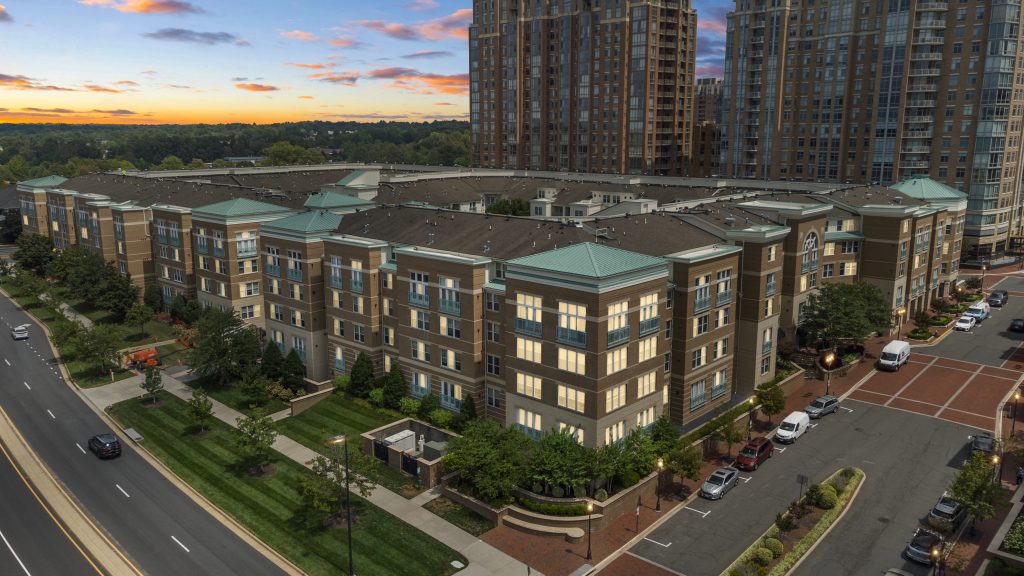
It happens in drone photography because the lens’ field of view is wider than the size of your image sensor. Understand that reason, you can know how to reduce or fix it.
NiceColor real estate aerial photo enhancement
So professional experts can help you to fix this problem with their smart software. Outsourcing real estate aerial photos to enhance your photos and remove the fisheye distortion is the best way to save you more time and effort.
There are many professional software that support you when it comes to photo editing. And choosing Adobe Lightroom is a great way to edit this type of mistake for your aerial photography taken from drones. Thanks to this smart program, it offers a full-fledged photo editing tool feature. So you can make fisheye distortion particularly easy to solve.
First of all, importing and isolating the photos where barrel distortion is a particular problem. Then, use their menu to click “Develop”, then scroll down to “Lens Correction.”
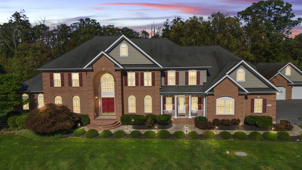
Color Correction
real estate aerial photo enhancement
There may be many problems when it comes to taking aerial photos with drones. Even if it is a sunny day with nice weather, there may have some problems with the color of the property. For example the sunlight cause the reflections or blurred. Color correction is one of the most important steps to get an authentic and accurate appearance for your property listing.
Editing experts will use a color correction process to enhance your photos. It can be the process of fixing any exposure, white balance, or color cast issues that may affect your footage. You can find many software that supports the color correction tools like Lumetri Color in Adobe Premiere Pro, DaVinci Resolve. Or use Final Cut Pro to adjust the basic settings of your footage such as exposure, contrast, highlights, shadows, temperature, tint, saturation, and sharpness. You can also use scopes and vectorscopes to monitor the color and luminance levels of your footage.
Color correction is one of the advantages of aerial photography using drones. Because you can take advantage of natural light to showcase the realistic color of the property. So it is an essential enhancement that all the editing companies provide to create stunning photos for your listing. Even they always trying their best to showcase the most vivid colors for the house, it is necessary to keep as accurate and authentic elements. It can mean that thanks to real estate aerial photo enhancement, a customer can go in with the right expectations about how a property looks.